Chal Abad Mountain – Kermanshah


Overview
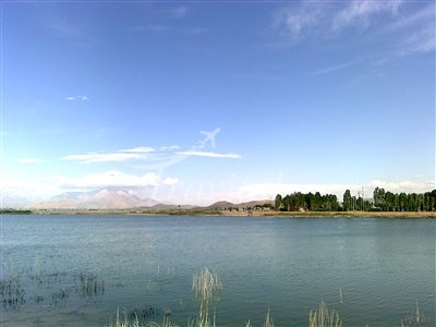
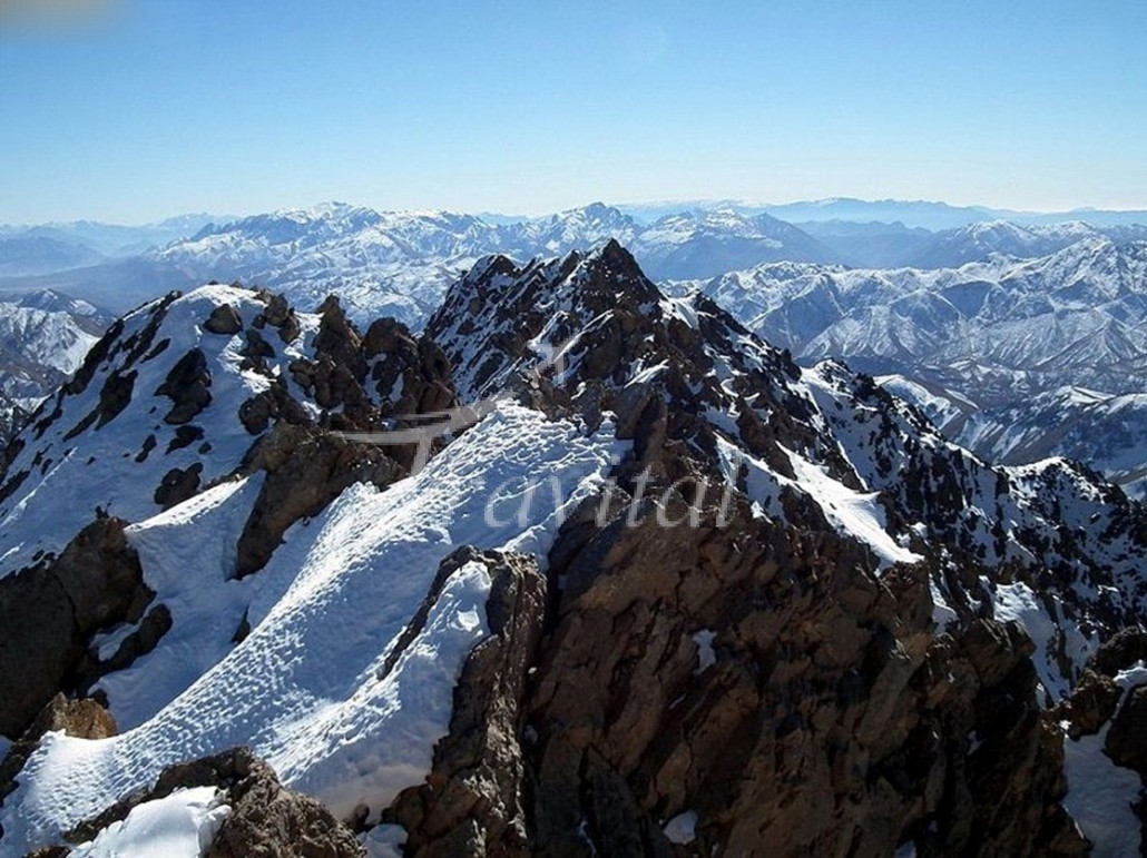
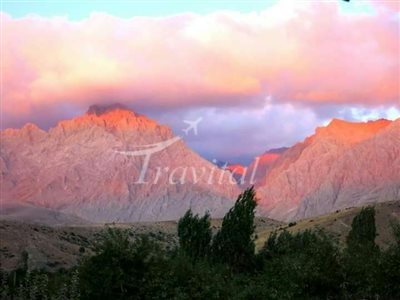
The Chal Abad Mountains are located 50 km. northwest of Kermanshah. The same reach an elevation of 2,444 m. This mountain along with others such as, Vellari, Hashlan, Khurir, Hool Hool, and Khaqaneh form a small elevated area. The highest summit of the region is Khurir, with an altitude of 2,550 m. The Qaiyreneh River flows from the eastern slopes of this mountainous area, and then diverts northwards between the elevated regions of Poraw and Chal Abad. The Ravansar River is also within the western limits of this zone, and the tributaries of this region flow into the two above mentioned rivers, forming a small lake in the southern skirts known as the Sholeh Wetland
See more in Kermanshah
Kermanshah Hotels
Your Travel Journey Starts Here
Sign up and we'll send the best deals to you

