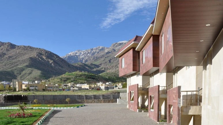
Dena (Dinar) Mountain – Boyer Ahmad (Yasuj)

Dena (Dinar) Mountain at a Glance
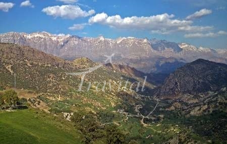
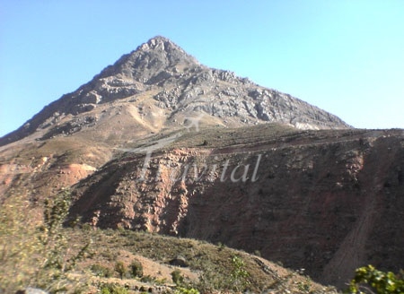
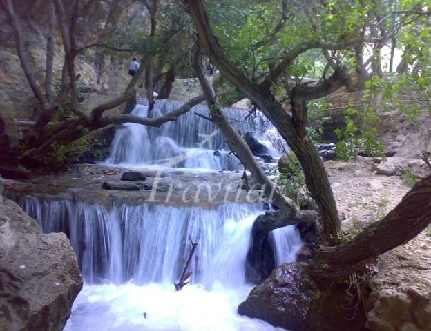
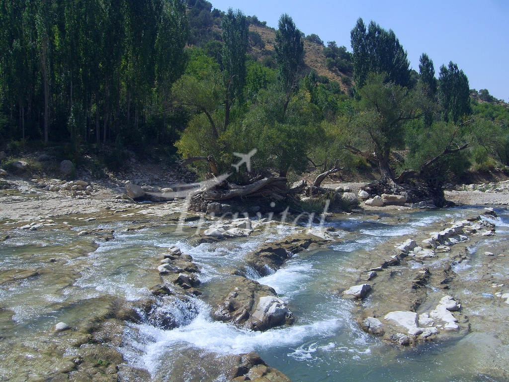
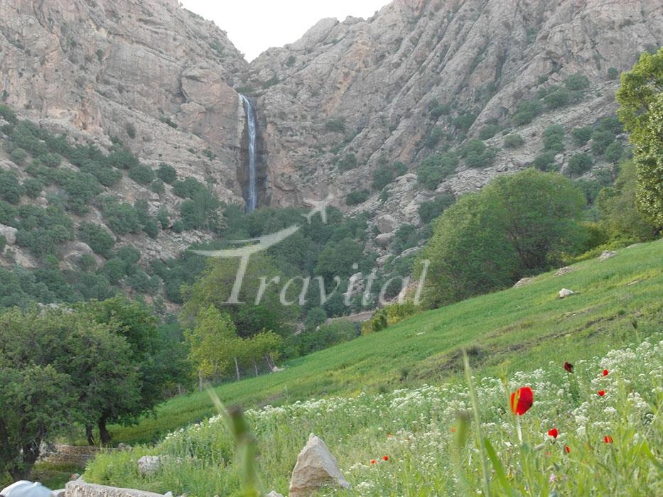
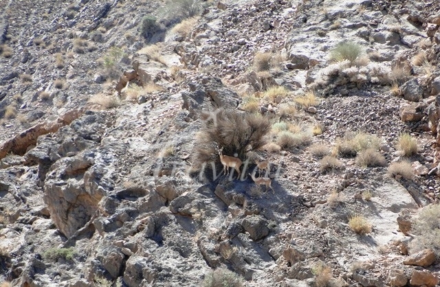
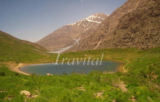
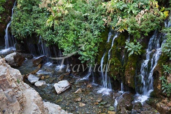
The Dena or Dinar mountainous region is in the townships of Brujen, Semirom and Boyer Ahmad, covering an area of 2,200 square kilometers and comprises of various mountains. The tallest of them is the well-known Dena (Dinar) summit which has a height of 4,409 meters and is at a distance of 35 km. north west of Yasooj. The Marber, Raigan, Tal-e-Gordal and Roudeqar Rivers are in the northern slopes of this region. Water bearing rivers by the names of Benrou, Kahgol, Seris and Mehrian Rivers are at the southern slopes. Whereas Khaleh, Kashour, Tizab and Dezkord Rivers flow through the southern and southwestern slopes of this mountain. The northern slopes are limited to the valley of Marber River, the western slopes to the Khersan River and eastern slopes are limited to the Mehrian River. The average annual temperature of this mountainous region is between 5° to 15° C and its beautiful and vast summits are covered by snow, almost all round the year. The most important summits in this vicinity are more than 4,000 meters in height and are the following: Houzdal, Sicherni, Benrohash, Qalam, Pol-e-Sefid, Khersan. and so on.
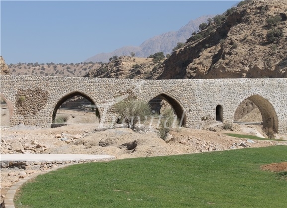
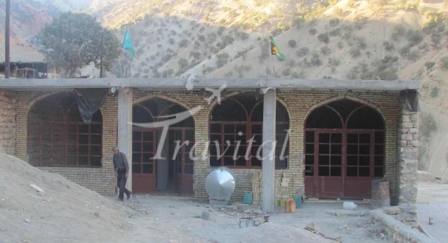
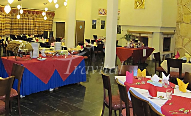
Things to Do and Tourist Attractions in Yasuj


Your Travel Journey Starts Here
Sign up and we'll send the best deals to you